About
Robertson County
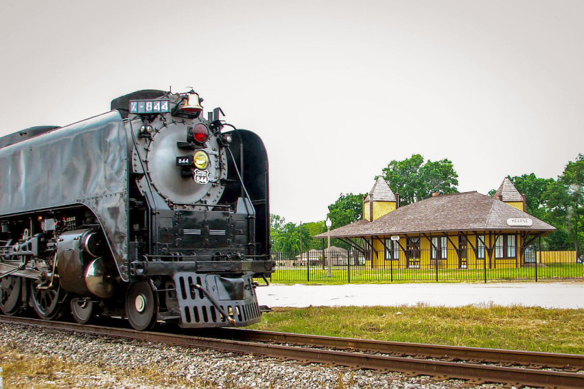
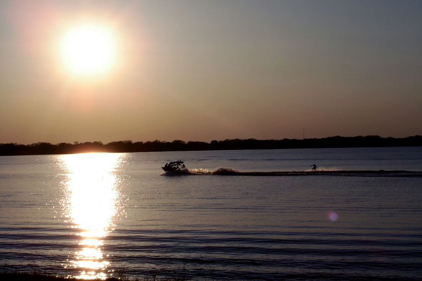
Robertson County is ninety miles northeast of Austin in the Claypan area of east central Texas. State Highway 6 crosses the county north to south, and U.S. Highway 79 runs from east to west. In addition, the Union Pacific Railroad follows Highway 79 across the county, and another branch of the Union Pacific (formerly the Southern Pacific) parallels State Highway 6. These two lines intersect at Hearne,and yet another branch of the Union Pacific runs along the western boundary of the county. Robertson County covers 854 square miles of flat to gently rolling terrain, with elevations ranging from 250 to 500 feet. The county is bounded by the Brazos River in the west, the Navasota River in the east, and the Old San Antonio Road in the south. The region is characterized by rich river bottoms, upland prairies, and timberland that supports post oak, black jack oak, cottonwood, elm, pecan, and mesquite trees. Tourist attractions include hunting, fishing, historic sites, the County Music Jamboree, and the county fair held in Hearne in March.
Robertson County
Robertson County Appraisal District